JIUQUAN, Oct. 9 (Xinhua) -- China launched Venezuela's remote sensing satellite, VRSS-2, into a preset orbit from the Jiuquan Satellite Launch Center in the Gobi desert at 12:13 Monday.
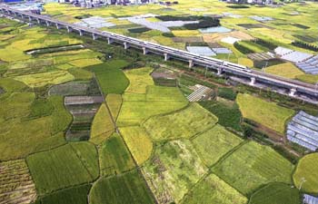
The VRSS-2 was the third satellite to be jointly launched by China and Venezuela. It will be primarily used by Venezuela for land resource inspection, environmental protection, disaster monitoring and management, crop yield estimation and city planning.
The VRSS-2, with a designed mission life of five years, is an optical remote sensing satellite, equipped with a panchromatic/multispectral, high resolution camera and a short/long wave infrared camera, according to the satellite's developers at the China Academy of Space Technology.
The infrared camera, about the same size as an A3 printer, enables the VRSS-2 to capture images day and night at the required temperature of minus 215 degrees centigrade.
The satellite was launched by a Chinese Long March-2D carrier rocket which was designed by the Shanghai Academy of Spaceflight Technology. This was the 252nd flight mission for the Long March rocket family.
In 2008, China launched Venezuela's first satellite -- the Venesat-1, or "Simon Bolivar" -- which carried communications facilities.
In 2012, Venezuela's first remote sensing satellite, the VRSS-1, was also launched into space from China.